East Glen Shee Hills
| OS map : | 36 |
| start : | Glen Shee skier car park (South) |
| gridref : | NO141775 |
| Main car park for GlenShee skiing. Cannot be missed! Maybe best to park at the south end which is less busy and gives easy access to the initial track. | |
| hills: | Glas Maol Cairn of Claise Carn an Tuirc |
| summary : | Glen Shee skier car park (South) - Glas Maol - Cairn of Claise - Carn an Tuirc. - Glen Shee skier car park. |
| distance : | 15.0km. |
| ascent : | 620m. |
| descent : | 0m. |
| time : | 6hrs. 0mins. |
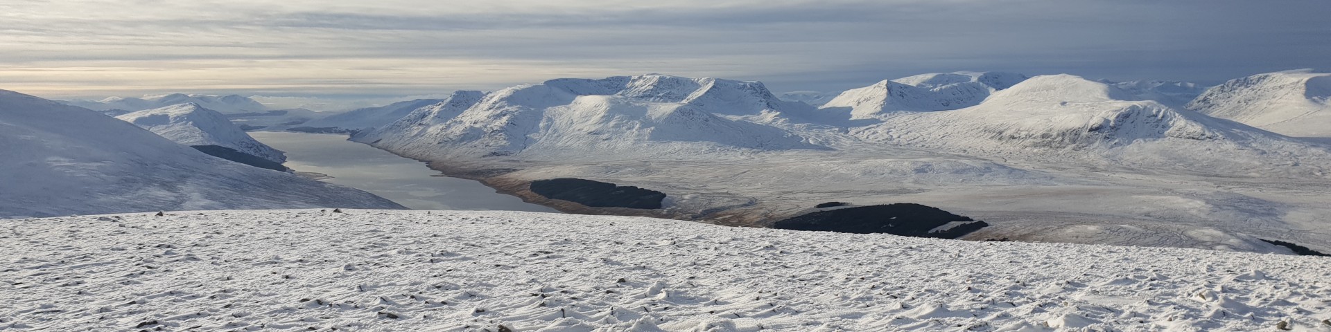
Some snow on the East Glenshee Hills.
© cairngormhills.co.uk
This tour starts at the Glenshee ski area and takes in the hills bounding the east side of the area. The hills hold snow well and provide some excellent skiing especially the descents. Once up to Glas Maol there is some fantastic skiing on the plateau and then down from Carn an Tuirc. Downside - the return to the car via the road is a bit of a pain!!
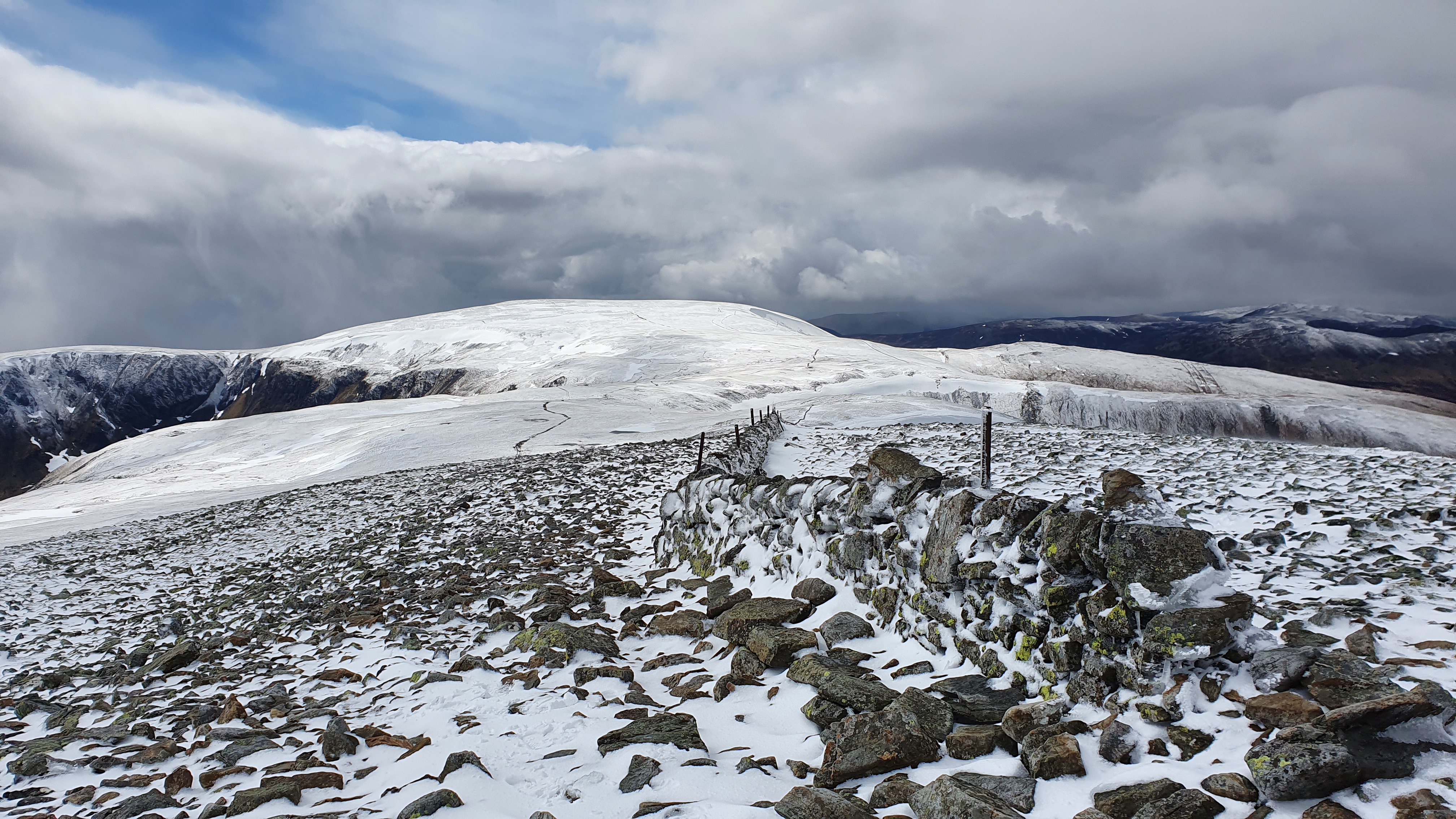
The ascent of Glas Maol starts at the S end of the car park. Follow the track up the unnamed top and then follow the boundary to Meall Odhar. Follow the county boundary around the SW side of the steep coirre and arrive at the large flat summit of Glas Maol. The summit is marked with a trig point so easy to find. Despite the downhill skiing all around, this can be a peaceful place. (3.5km. 410m. 0m. 2hr.10min)
Leave the summit of Glas Maol and ski north to the col at NO169776. Now follow the boundry fence up the SW ridge of Cairn of Claise. The traverse from Glas Maol to Cairn of Claise is relativly flat, holds the snow well and provides great touring. (4.0km. 130m. 0m. 1hr.30min)
Ski north from the summit and then turn slight westerly to descend to the col between these two hills. This is a great downhill run wit some gentle skiing without any danger. An easy ascent to the summit of Cairn an Tuirc follows (2.5km. 030m. 0m. 0hr.50min)
Decision time here.The best skiing is probably N then NE to the old ski tow, marked on the map as a hut. There is little left of this structure so a GPS is usefull to find this is good snow conditions. Following this descend the valley, that hold the snow well. The snow will probably run out towards the bottom so finally walk to the A93. A brisk 2km walk returns the skier to their transport. If the road walk does not appeal then the uphill route must be reversed towards Glas Maol until it is possible to descend into the ski area. Even this descent involves some re-ascent which may be made easier if the skier has a season ticket for the lifts, cheating!!. (5km. 50m. 0m. 1hr.40min)
© cairngormhills.co.uk all rights reserved 2015-2026