Monadhliath 2
| OS map : | 36 |
| start : | Glen Banchor |
| gridref : | NN693997 |
| The minor road out of Newtonmore ends here. Places for a dozen cars to park on grass (snow) just off the road. | |
| hills: | Carn Sgulain A' Chailleach |
| summary : | Glen Banchor - A'Chailleach - Carn Sguilean - Glen Banchor |
| distance : | 15.0km. |
| ascent : | 780m. |
| descent : | 0m. |
| time : | 6hrs. 20mins. |
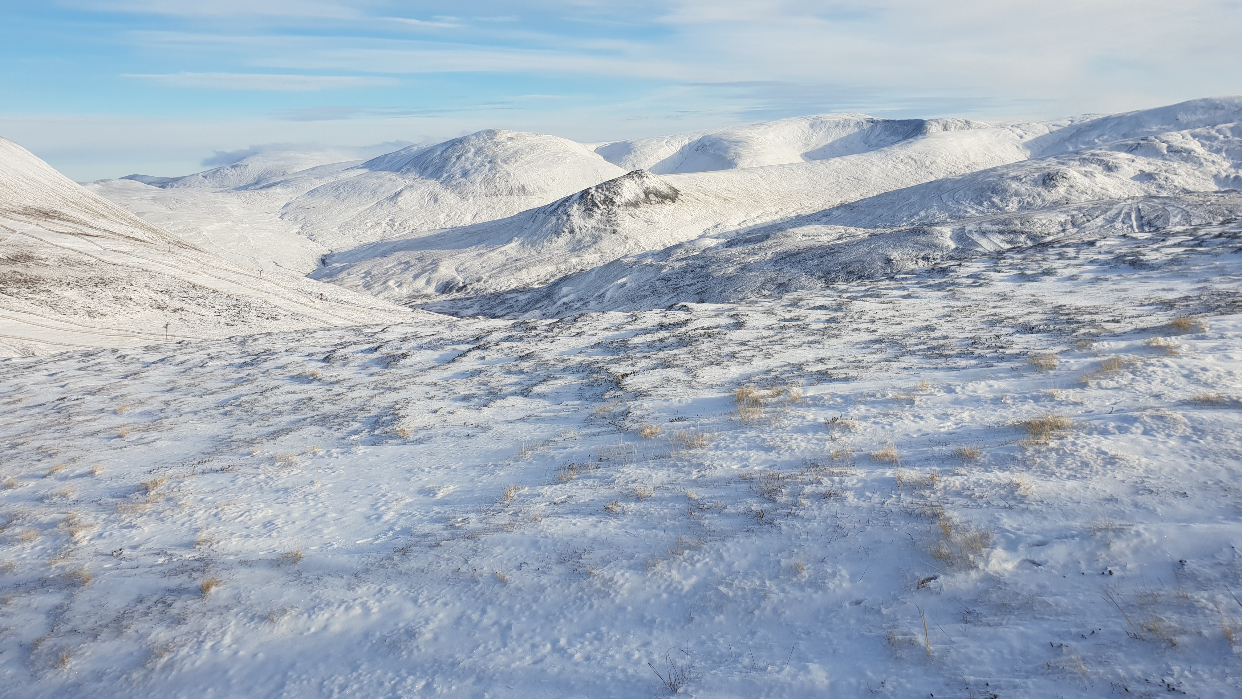
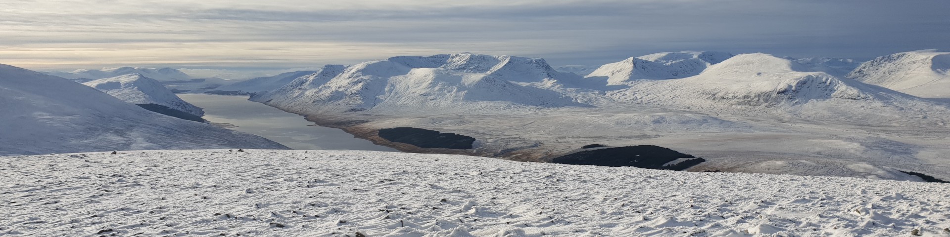
Some snow on the hills!
© cairngormhills.co.uk
The SE area of the Monadlaith plateau contains 3 Munros. This route takes on two of these hills. Easy access and gentle descents make for a good day out.
Follow the track up beside Allt a Chaorainn to a small cairn just before the end of the track. Take the small path down to the river and cross by the footbridge. Follow the stream NE for 1km. and then follow the tributary up to the small hut. Follow the stream up NW heading towards the bealach at NH675038, steeply at first but the angle soon eases off to allow a direct ascent to the bealach. The summit of A'Chailleach is NW up the ridge from the col. (5km. 610m. 0m. 3hr.0min)
Return to the bealach. From here ski north to the head of Allt Cuil na Caillich and from there to the south ridge of Carn Sguilean and onto the subsidiary W top. Follow the fence to the summit of Carn Sguilean. (3km. 120m. 0m. 1hr.10min)
Retrace the route to the bealach on A'Chailleach again. from here descend the slopes to the hut; usually excellent skiing and the highlight of the day. Return to the end of the minor road by retracing the outward route. (7km. 50m. 0m. 2hr.10min)
© cairngormhills.co.uk all rights reserved 2015-2026