Braeriach
| OS map : | 36 |
| start : | Cairngorm Sugar Bowl Car Park |
| gridref : | NH983076 |
| The sugar bowl car park accessible from the Cairngorm ski road. | |
| hills: | Braeriach |
| summary : | Cairngorm Sugar Bowl carpark - Braeriach - Cairngorm Sugar Bowl carpark |
| distance : | 20.0km. |
| ascent : | 960m. |
| descent : | 960m. |
| time : | 8hrs. 10mins. |
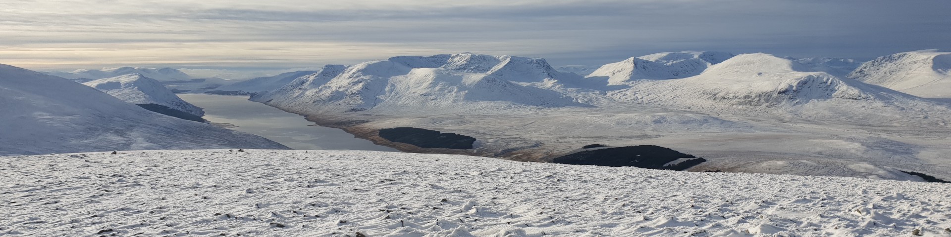
Snow on Braeriach as seen from the other side of the Liarig Ghru.
© cairngormhills.co.uk
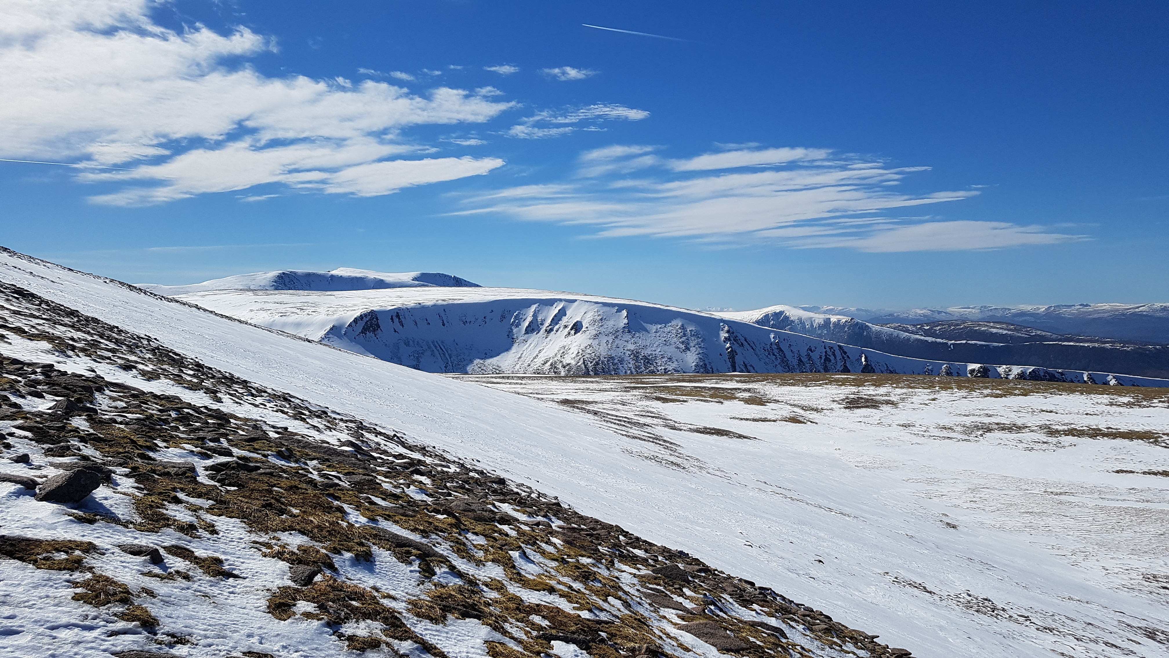
Situated to the W of the Lairig Ghru the Braeriach plateau is a vaist area of extensive ski touring. The ascent of Braerich give a long and tiring day but well worth it for the fantastic descent from the top.
Take the footpath that crosses the Allt Creag an Leth-choin and follows the north west bank up towards the Chalamain gap. The top part of the bealach is full of boulders which are problematic when covered in snow. If there is sufficient snow the bealach itself can be avoided by taking a higher line above the bealach on the northern side. Once through the gap follow the route down to the Larig Ghru, across the river and then up the west side to the site of the Sinclair Hut, now removed. The route continues from the Sinclair hut around the east ridge of Coire Gorm and up into the corie itself. Continue uphill through the coire up to the Sron na Lairg picking out the best line in the conditions. The eastern edge is probably the best snow at holding the snow. Leave Coire Gorm and follow the wide ridge climbing all the time up to Braeriach plateau. The final part of this ridge is rocky and needs a good snow coverage to make it possible all the way on skis. (10km. 840m. 120m. 5hr.0min)
Leave the summit easterly which is very rocky. At the small bealach turn north and ski along the wide ridge. The classic descent of Coire Gorm now follows, the highlight of the day. Turn north east around the bottom of the coire and down to the site of the Sinclair Hut. Cross the Lairg Ghru and ascend to the Chalamain Gap. This is rocky at the top but may be avoided on the north side. Continue to the ski road by following the path line, linking the snow patches together. (10km. 120m. 840m. 3hr.10min)
© cairngormhills.co.uk all rights reserved 2015-2026